Wainiha Flood Vulnerability
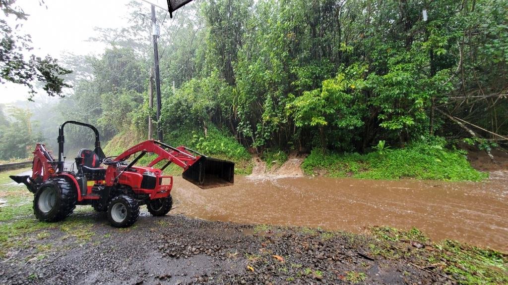
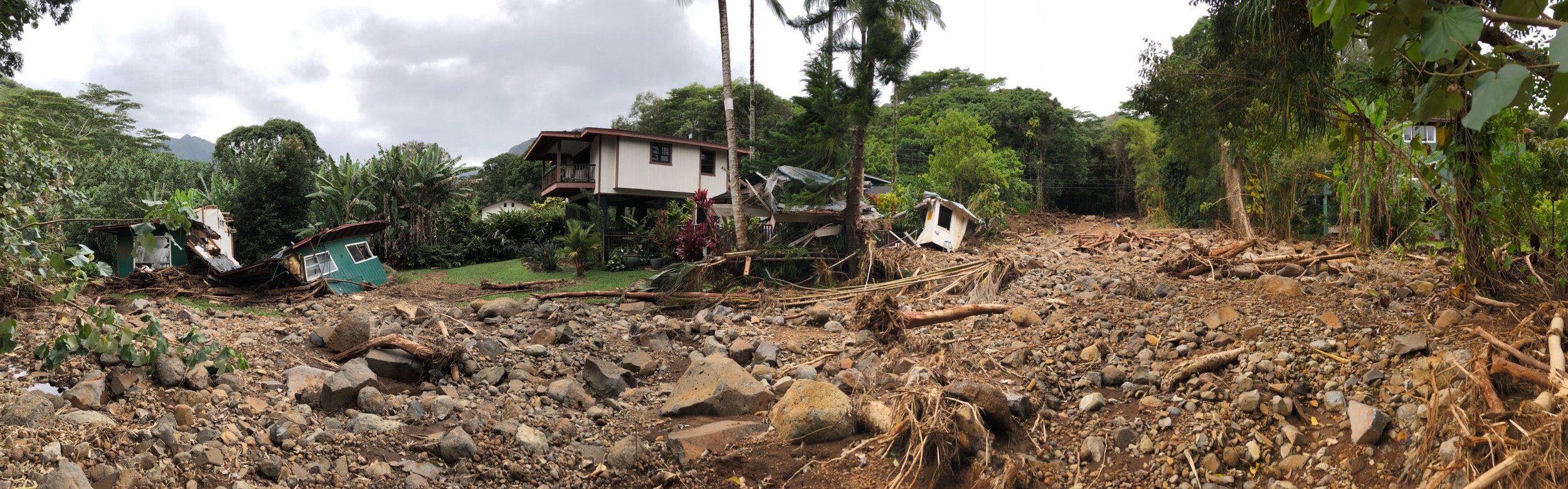
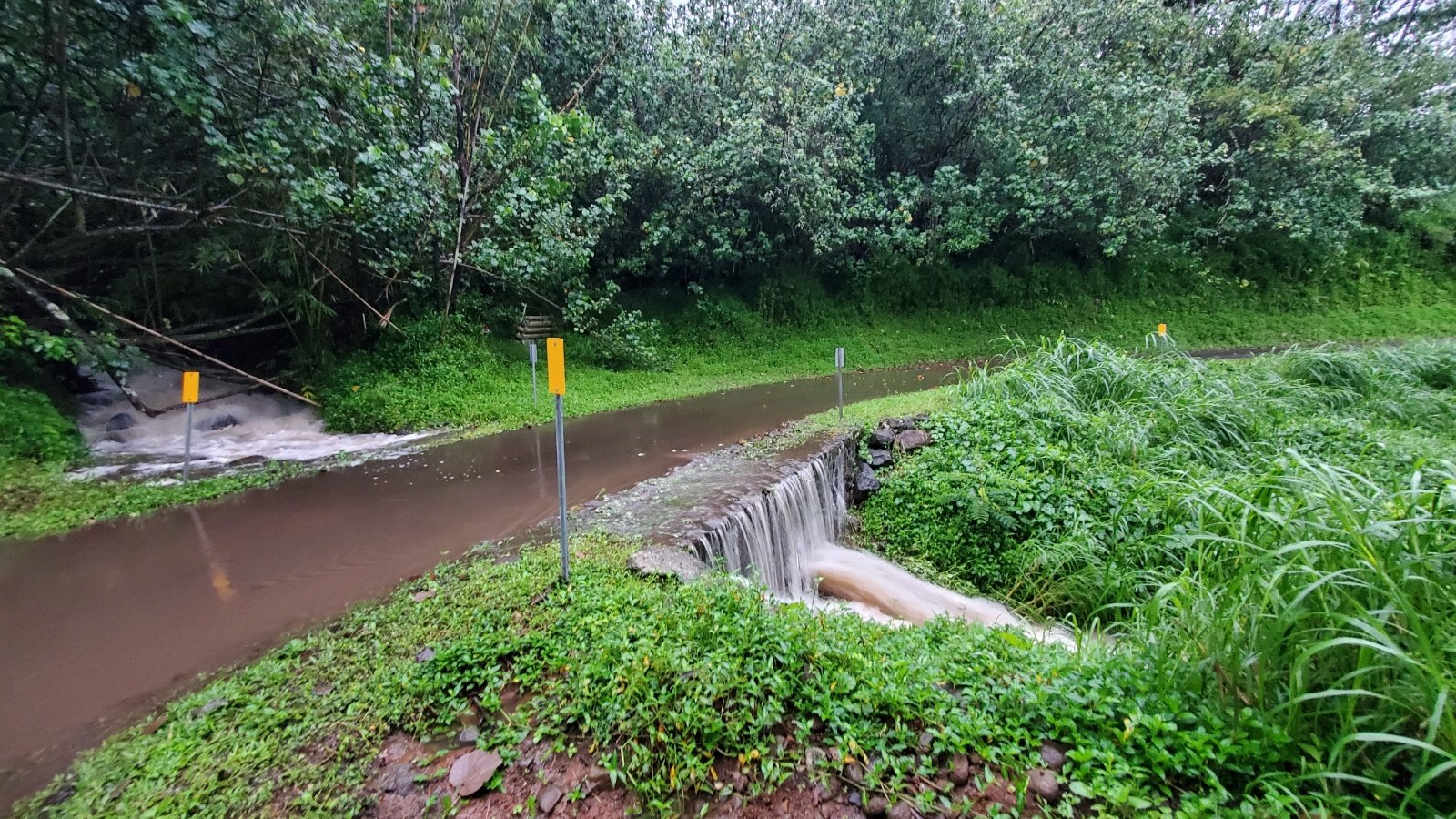
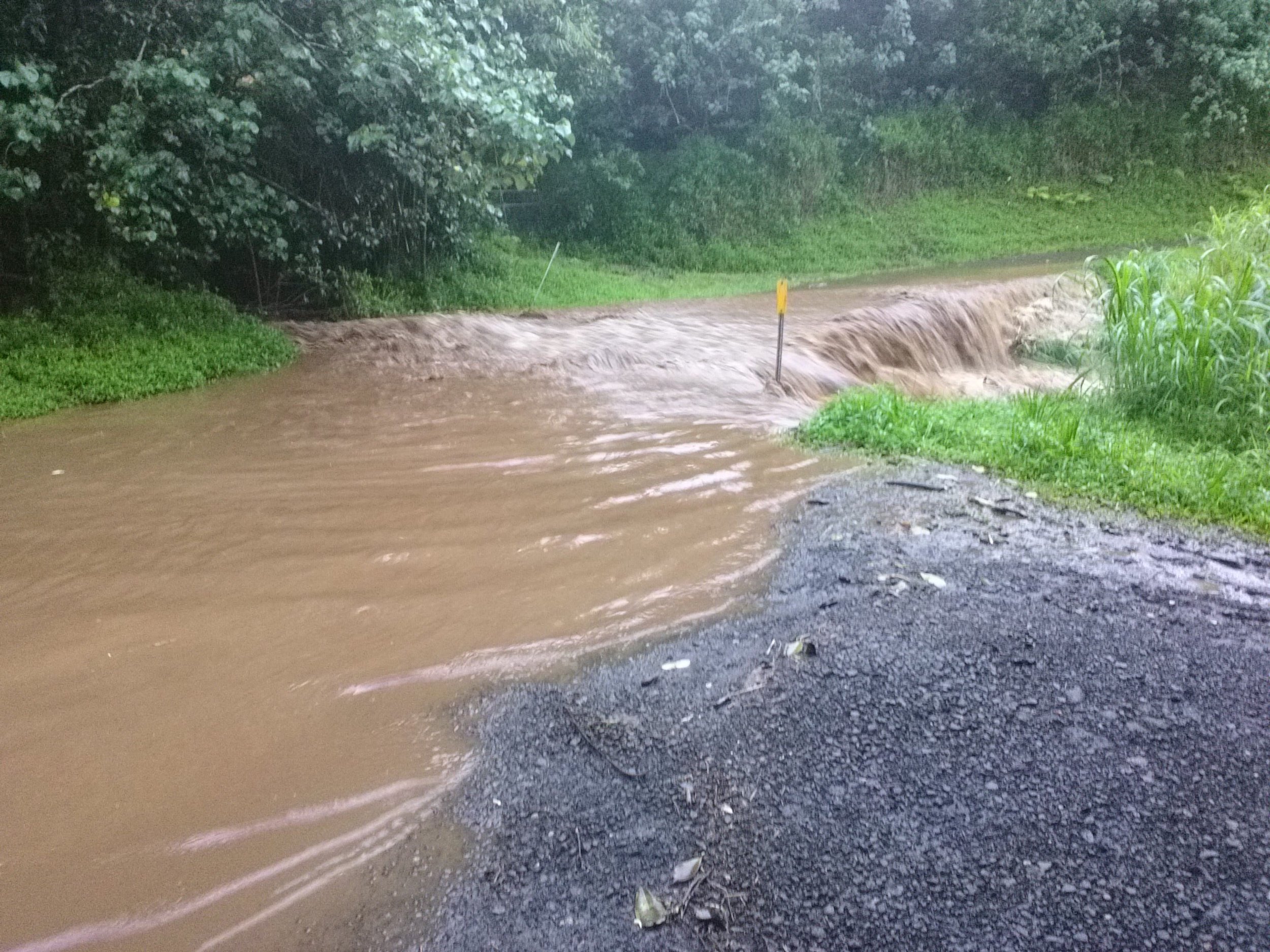
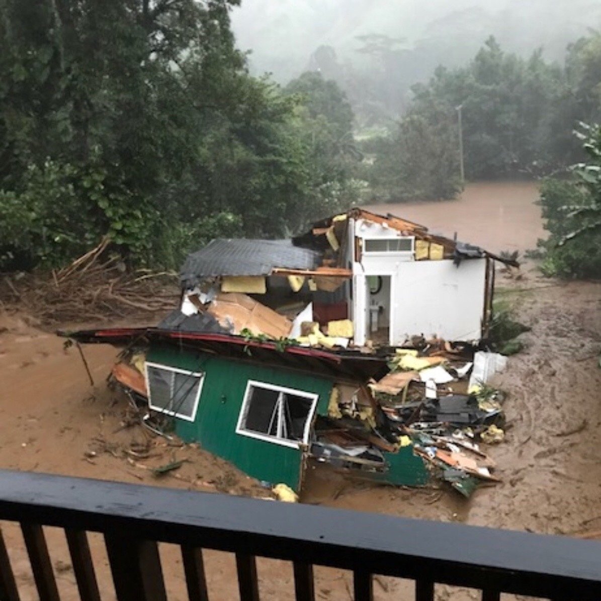
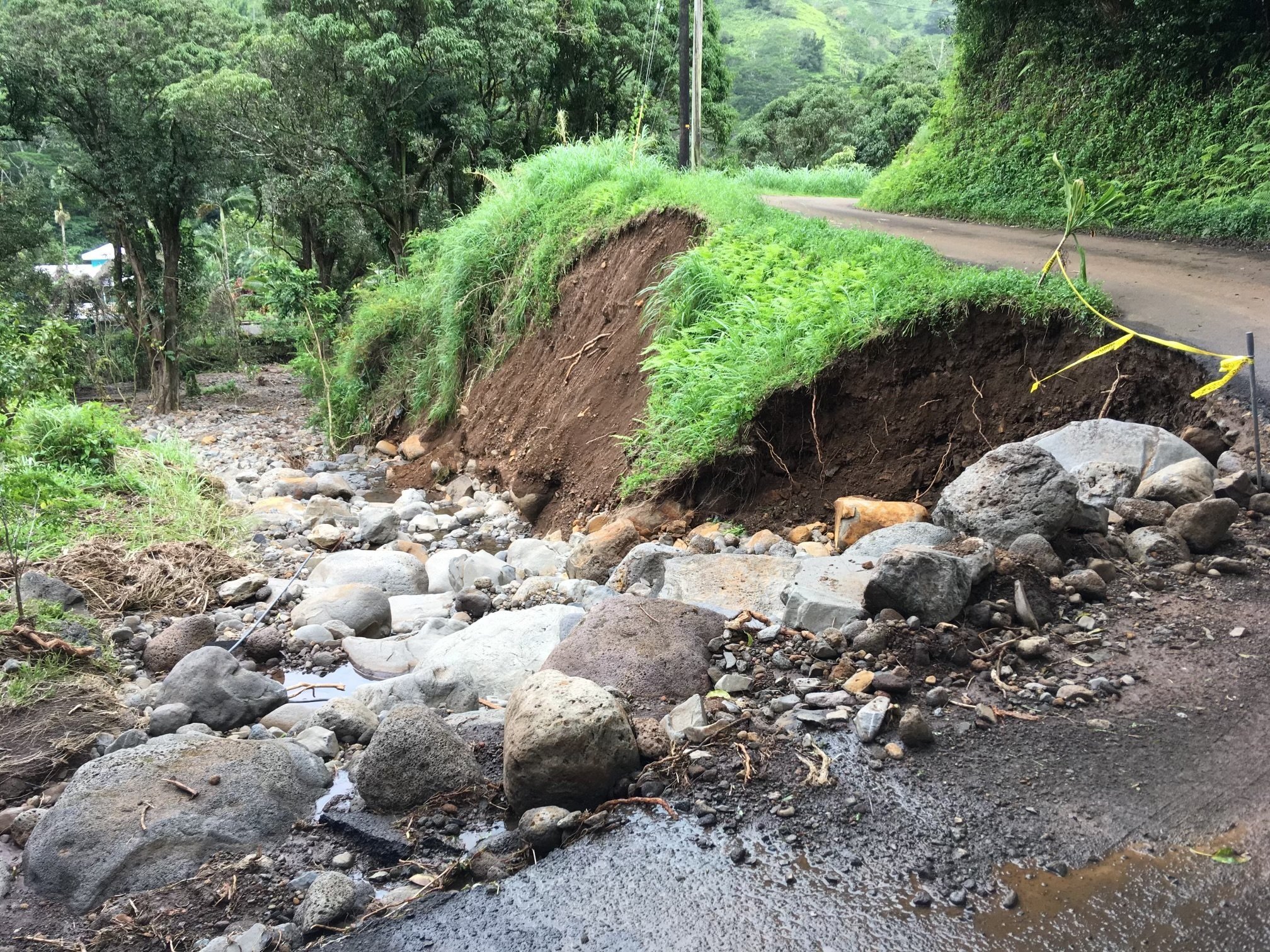
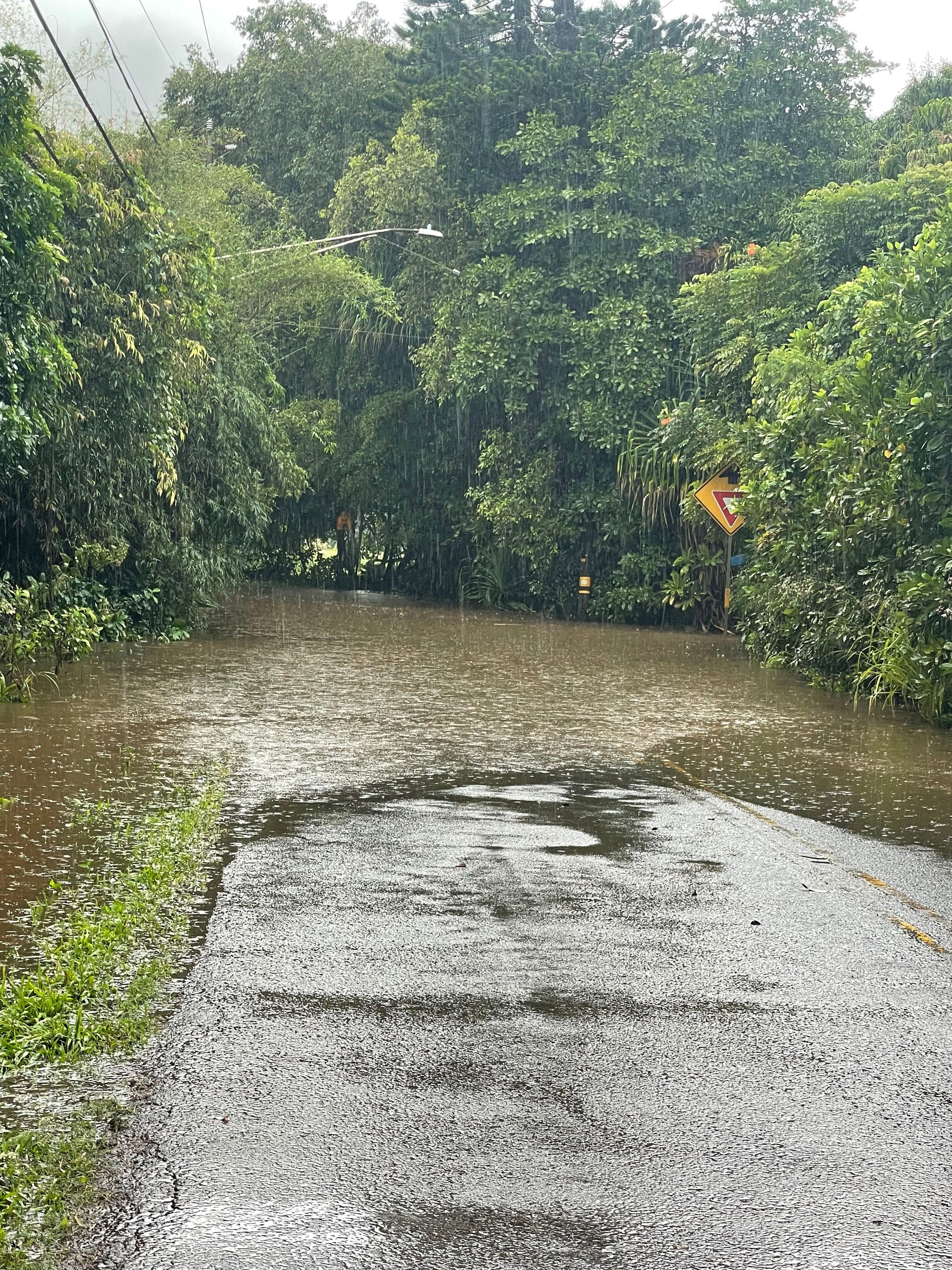
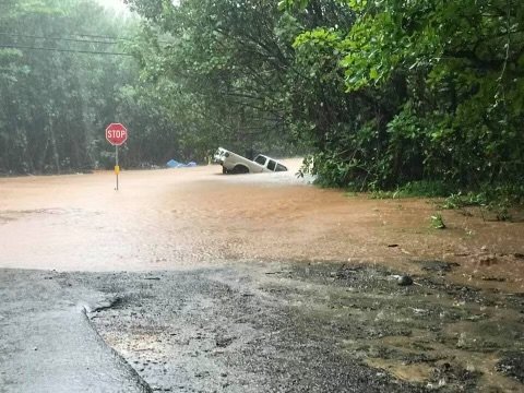
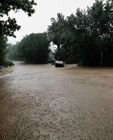
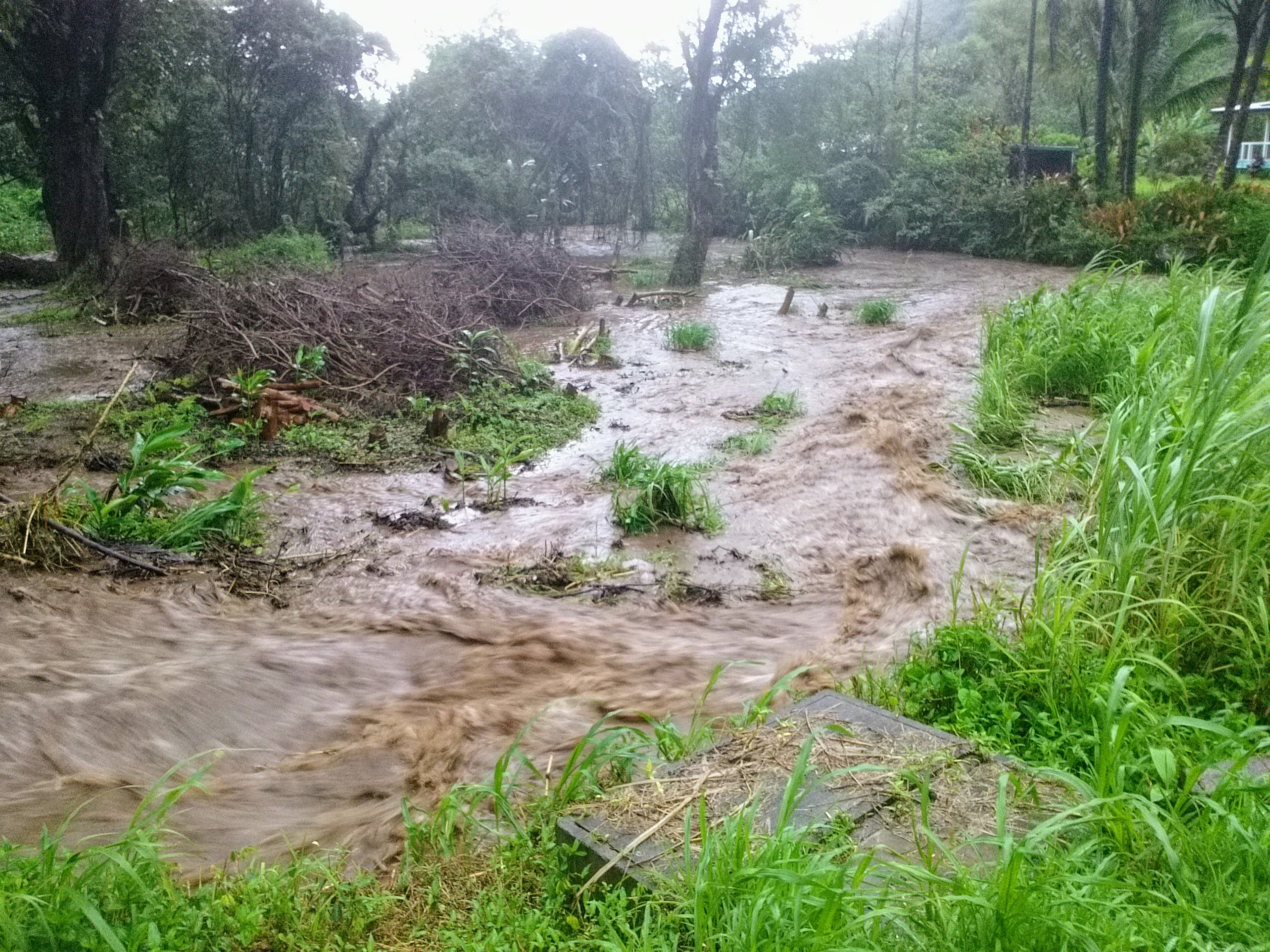
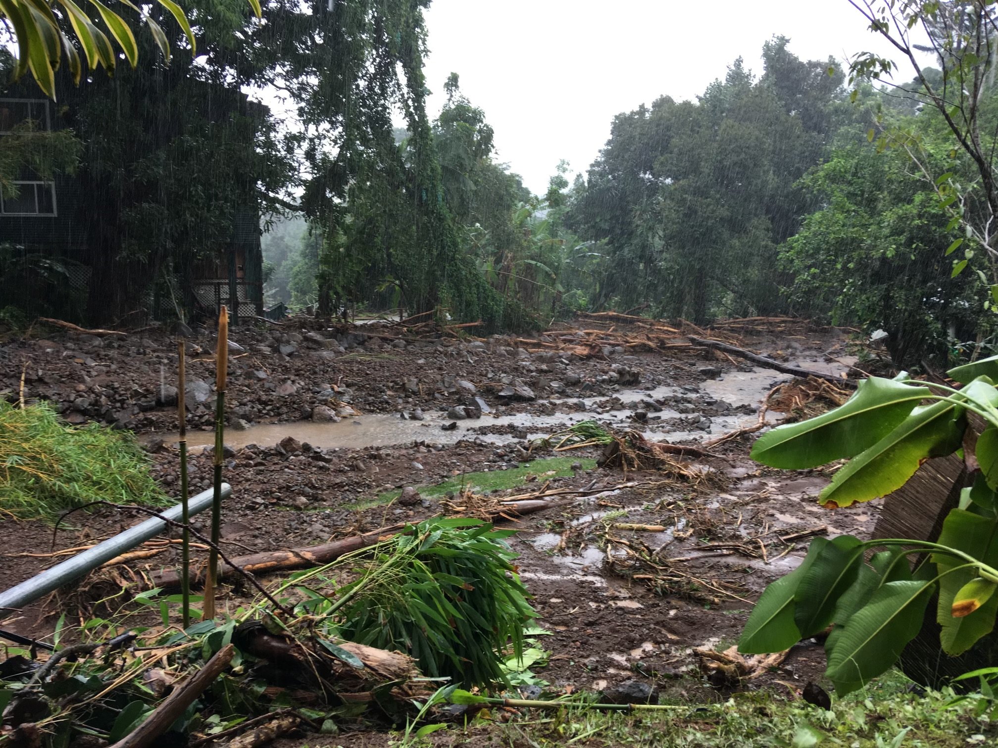
The Wainiha River is perennial, draining the 14,681-acre Wainiha River Watershed which extends from an elevation of 5,130 ft mean seal level (msl) to sea level at the mouth of the river. The total volume of water it carries annually ranks among the highest in the state. The watershed frequently experiences intense rainfall, triggering swift increases in the river's water level and causing flooding.
Since the 2018 large flood event, a priority of the Wainiha community has been to prevent loss of life and minimize property damage from floods.
The Wainiha Flood Vulnerability Awareness Campaign is intended to help Wainiha residents and visitors make informed decisions regarding flooding disasters by:
Raising awareness about flooding for visitors.
Providing community solutions to address challenges of a growing visitor industry to reduce risks, and protect community welfare, safety, and resilience.
Documenting community experiences of flooding and identifying resources and solutions for reducing flood risk in Wainiha in the Wainiha Watershed Flood Mitigation Recommendations.
Informing residents and visitors about the Hanalei to Hā‘ena Community Disaster Resilience Team, an important resource for maintaining flood preparedness and responding to disasters.

Wainiha Watershed Flood Mitigation Recommendations
March 2024 (780KB pdf)
The Wainiha Hydrologic Vulnerability Assessment identified specific areas of flood vulnerability and outlined recommendations to improve community preparedness and planning focused on flood mitigation and disaster resilience.
Key Findings and Recommendations. Nearly every parcel within the project area is at risk of flood damage from river flooding and/or water carried in the flow paths. Recommendations to reduce flood vulnerability focus on protecting structures, keeping channels free of debris, and raising awareness.
Flood Vulnerability Maps can increase awareness of the risks and vulnerabilities of flooding and surface water runoff.
The Wainiha Hydrologic Vulnerability Assessment identified the extent of flood waters over the floodplain, determined which parcels in the study area are vulnerable to flooding from the river and tributary channels, and outlined recommendations for reducing flood vulnerability.

Wainiha Hydrologic Vulnerability Assessment
March 2024 (72MB pdf)